Description (0)
| Anchorage Facts |
| Depth |
7 meters |
| Bottom Type |
Grass |
Good protection when a northerly/westerly sets in. There is a nice waterfront promenade with a local Tourist Information site, lots of restaurants on the waterfront street and a supermarket. We tied the dinghy to a pontoon inside the marina.
There is a coastal walking path that heads westward around the corner to Port d'Alon (get a map at the info center).
Features
Reviews
Be the first to add a review!
Nearby Places(to show the Places layer, click the layer button in the top right corner of the map)
Be the first to add a Place!
Nearby Markers (to show the Nearby Markers layer, click the layer button in the top right corner of the map)
|
-
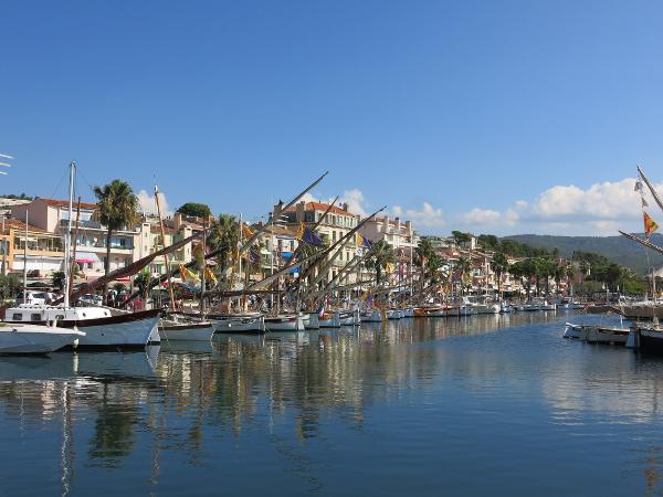 Bandol Waterfront with local fishing boats
|


