


Pelabuhan Laut Reo
| ||||||||||||||

Created on 2018-01-11 00:00:00.0
|
Description (0)
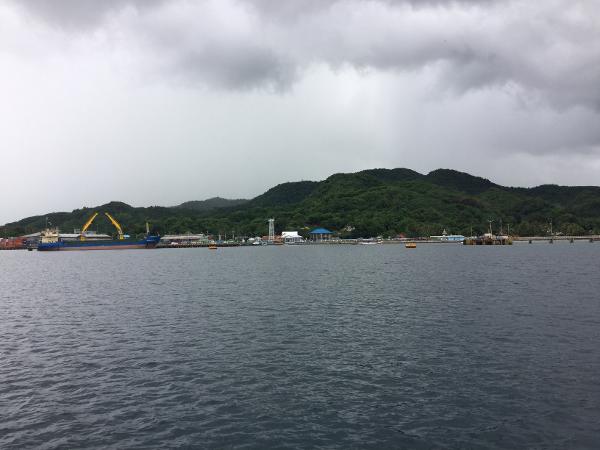
Unattractive commercial port. Big ship docks and metal moorings. Petramina terminal. Did not go ashore, just a rest stop sheltered from the W-NW wind in January. 15-20m Features
ReviewsBe the first to add a review!Nearby Places(to show the Places layer, click the layer button in the top right corner of the map)Be the first to add a Place!Nearby Markers (to show the Nearby Markers layer, click the layer button in the top right corner of the map)
|
|
||||||||||||


| FAQ | About Us | Contact | Terms Of Service | Privacy Policy |