Description (0)
This pretty bay is on the NE side of Terre de Haut and is not accessible to boats because the local authorities want to keep the water clean and the beach desirable for tourists. It is a popular place to walk to when visiting the island. There is a attractive beach decorated with palm trees and the rocks that surround the cove are fun for exploring. The walk over from town is easy and signed. Pick up a map at the tourist office in town near where the ferries dock. Trails also lead up over Morne Morel adjacent.
Reviews
Be the first to add a review!
Nearby Places(to show the Places layer, click the layer button in the top right corner of the map)
Be the first to add a Place!
Nearby Markers (to show the Nearby Markers layer, click the layer button in the top right corner of the map)
|
-
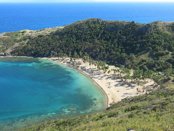 Baie de Pompierre as seen from the viewpoint on Morne Morel
 Good swimming at Baie de Pompierre
|


