Description (0)
| Anchorage Facts |
| Depth |
4 meters |
| Bottom Type |
Clay |
Monroe Harbor south is an anchorage for day use only. The park district doesn't allow overnight anchoring. Overnight anchoring is allowed two miles north in the "playpen", north of Navy Pier and Jardine water purification plant.
The bottom offers good holding (clay and mud). It's crowded on weekends and deeper water (15-20 feet in the center) so you might have to set less scope than ideal.
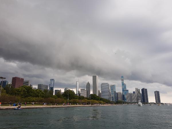
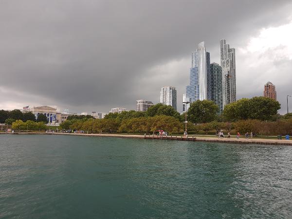
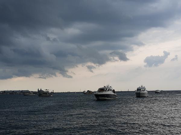
There's a lot of boat traffic with water taxis along the shore every 5-10 minutes and boats of all sizes coming. There are great views of the city and excellent people watching on other boats and shore.
Pictures were taken after most of the boats left due to the approaching thunderstorm. The strongest gusts for this storm were less than 20 knots.
Reviews
Be the first to add a review!
Nearby Places(to show the Places layer, click the layer button in the top right corner of the map)
Be the first to add a Place!
Nearby Markers (to show the Nearby Markers layer, click the layer button in the top right corner of the map)
|
-
 North/Northwest
 South/Southeast
 Northeast toward Navy Pier
|


