Description (0)
| Anchorage Facts |
| Depth |
7 meters |
| Bottom Type |
Sand |
There are several anchorages around Allan's Cay both on the east & west side as well as in the cul de sac on the north side of SW Allan's. You'll need to read the water and be careful with strong currents on the east side of the island. There are some white sand banks on the east side as well. The west side is about 22 feet deep of sand all the way up to the island and there is virtually no current. Good protection from prevailing wind and easy to dinghy around to east side. Good snorkeling in the area and you can visit the iguanas on both adjacent Leaf Cay as well as SW Allan's.
Features
-
 Tower on Highborne
-
 Nothing long but Leaf Cay has a pretty beach as well as SW Allan's
Reviews
Be the first to add a review!
Nearby Places(to show the Places layer, click the layer button in the top right corner of the map)
Be the first to add a Place!
Nearby Markers (to show the Nearby Markers layer, click the layer button in the top right corner of the map)
|
-
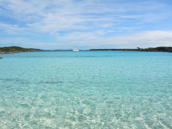 VIew of anchorage at SW Allan's from the iguana beach
 Iguanas of SW Allan's
|


