Description (0)
| Anchorage Facts |
| Depth |
4 meters |
| Bottom Type |
Mud |
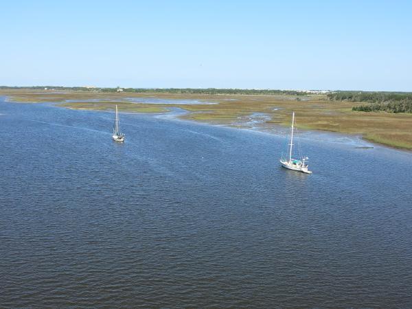
This is a nice anchorage right off the ICW channel just north of the St Johns River crossing. Depth varies but averages 12 feet. When we were here there were 4 boats anchored for the night. Holding is good in mud. Marsh scenery. Across the river (short ride) is the Jim King Park- one of Jax Parks for Jacksonville. It mainly is a boat launch, a free dockage marina with about 6 berths and there are restrooms and a boardwalk. This is a good stopover for the night.
Features
Reviews
Be the first to add a review!
Nearby Places(to show the Places layer, click the layer button in the top right corner of the map)
Be the first to add a Place!
Nearby Markers (to show the Nearby Markers layer, click the layer button in the top right corner of the map)
|
-
 North Sisters Creek Anchorage
 Partial view of Jim King Park from anchorage
|


