Description (0)
| Anchorage Facts |
| Depth |
4 meters |
| Bottom Type |
Sand |
The breakwater that forms the entrance to the canal that leads to the inland sea of Mar Menor also forms a sheltered anchorage. There were plans (and a start) to build a marina in this area but they were halted after a framework of steel panels were installed that would form the shape of the marina. These now provide a very protected lagoon of sorts that is about 12 feet deep for most of the area, with shoaling at the sides near the steel frames. It is an odd place, but a welcome break from the swelly anchorages available on this coast. To enter, head through the buoys marking the channel entrance, continue inside a bit further as if going to head up toward the canal before turning to port to enter through the steel breakwaters into the anchorage area. This avoids a shoal that has developed to port just after the entrance buoys. You can land the dinghy along the shore inside the anchorage and walk on the red dirt paths to the main road where there are restaurants and tourist facilities. This whole area is in a state of halted development but locals and tourists use it for sunbathing, fishing, walking and anchoring.
Features
-

-

-
 In the area of the marina Puerto de Tomas Maestre there are shops
Reviews
Be the first to add a review!
Nearby Places(to show the Places layer, click the layer button in the top right corner of the map)
Nearby Markers (to show the Nearby Markers layer, click the layer button in the top right corner of the map)
|
-
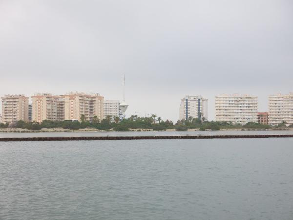 The unattractive skyline of this part of Mar Menor
The tower is for the lifting bridge that spans the canal entrance to Mar Menor.
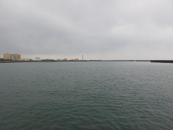 Walled in anchorage that is protected from swell
|


