Description (0)
Also known as Waterlemon because that is the name of the little islet that makes this anchorage so pretty. The innermost part of the bay has many park moorings or you can anchor outside of them. Approach is clear and easy. There is a sandy beach and trails to both the old plantation owner's house at the top of the hill (great views) as well as back to the southeast to the Annaberg Sugar Mill & school ruins. You can walk to Coral Bay from here on two different trails. The inner mooring area has lots of turtles in residence as the bottom is grassy. Eagle rays peruse this area too. You can snorkel around Waterlemon Cay although there isn't much of any coral here.
Reviews
Be the first to add a review!
Nearby Places(to show the Places layer, click the layer button in the top right corner of the map)
Be the first to add a Place!
Nearby Markers (to show the Nearby Markers layer, click the layer button in the top right corner of the map)
|
-
 Waterlemon Bay (Leinster Bay)
 Waterlemon Bay Park Moorings
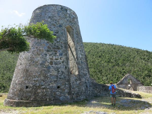 Annaberg Sugar Mill Ruins
|


