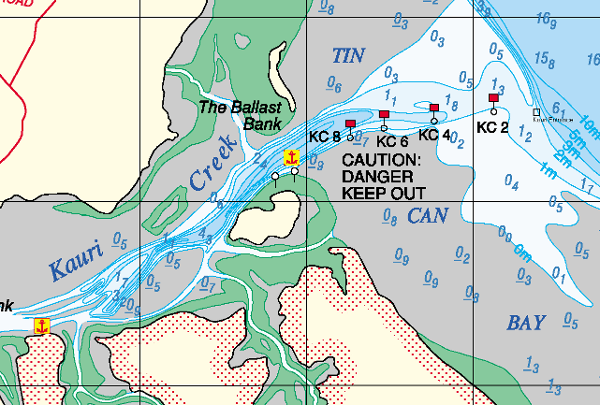
Kauri Creek Anchorage

  • 25º 47.889 S 152º 58.781 E
Created on 2020-09-10 00:00:00.0
Description
 (0)
Anchorage Facts
Depth meters
Bottom Type Mud

Good anchorage,  sheltered from SE winds, Strong tidal flow, can be choppy on change of tide against westerly winds.

deep anchorage, shallow entrance, 2m at low.

Reviews
Be the first to add a review!
Nearby Places(to show the Places layer, click the layer button in the top right corner of the map)
Be the first to add a Place!
Nearby Markers (to show the Nearby Markers layer, click the layer button in the top right corner of the map)
big mick
1.83nm on a course of 97 E
Bluff Reef
1.99nm on a course of 57 ENE
Browns Gutter 3.36nm on a course of 27 NNE
Pelican Bay, Inskip Point 3.57nm on a course of 106 ESE
bullock point anchorage 4.39nm on a course of 116 ESE
Teebar Ck
4.68nm on a course of 153 SSE
Coast Guard Tin Can Bay
6.47nm on a course of 163 SSE
Luxury Afloat Houseboats, Cafe and Dolphin feeding
6.49nm on a course of 164 SSE
TCB Marina 6.68nm on a course of 167 SSE
Tin Can Bay 6.71nm on a course of 156 SSE
Lady Woodward
7.22nm on a course of 163 SSE
Carlo Point 7.26nm on a course of 146 SE
Crab creek moorings
8.29nm on a course of 162 SSE
Garys Anchorage 10.1nm on a course of 358 N
Garry's Anchorage 10.14nm on a course of 358 N
Wolf Rock
12.57nm on a course of 111 ESE
Double Island Pt.
13.34nm on a course of 130 SE
Yankee Jack 16.28nm on a course of 358 N
South White Cliffs
16.4nm on a course of 358 N
Wanggoolba Creek
21.28nm on a course of 1 N
River Heads 22.4nm on a course of 352 N
Kinfisher Bay Resort Fraser Island 25.14nm on a course of 6 N
South Point 28.15nm on a course of 1 N
Big Woody 29.03nm on a course of 1 N
FAQ About Us Contact Terms Of Service Privacy Policy