Description (0)
| Anchorage Facts |
| Depth |
4 meters |
| Bottom Type |
Rock |
Isla Conejera lies conveniently 3 miles or so from San Antonio but
feels a world apart. It is uninhabited, full of gulls and green
lizards and the water is clear & beautiful. There are 2 possible
anchorages, one on each side of the island but Estancia Des Dins on
the east side is the most protected & is shallower. Good
protection from N-S/SW. Anchor in 4 meters or more in sand over rock
and avoid the grass patches. There's a boat landing on the north side
of the cove and a paved trail to the lighthouse. Isla Bosque is
adjacent with a narrow, rocky bar separating the two islands but it
is passable with shallow draft. There are attractive rock formations
if exploring the area by dinghy. We couldn't find a landing spot on
Isla Bosque to explore it.
Features
-

-
 Cellular data works here!
Reviews
Be the first to add a review!
Nearby Places(to show the Places layer, click the layer button in the top right corner of the map)
Nearby Markers (to show the Nearby Markers layer, click the layer button in the top right corner of the map)
|
-
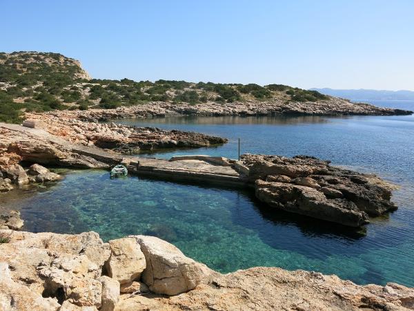 Landing area for dinghy
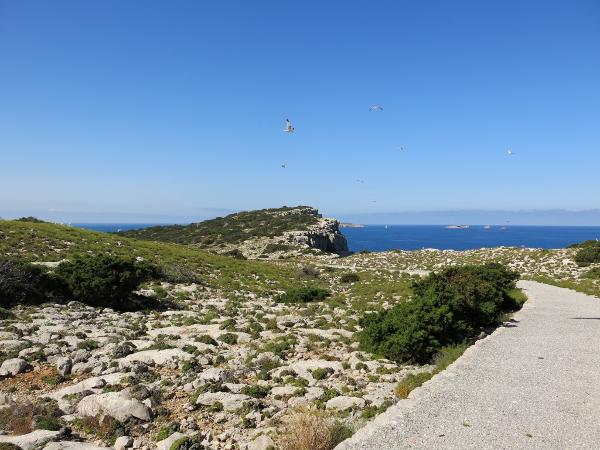 Views from trail to lighthouse
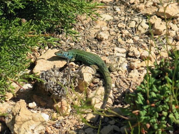 Green Lizard
|


