Description (0)
| Anchorage Facts |
| Depth |
7 meters |
| Bottom Type |
Sand |
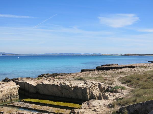
This is the long, sandy neck beach that runs north of Port Sabina toward Isla Espalmador. You can anchor along the whole length of it in good sand outside of the swim buoys. There are restaurants & cafe's dotted along the beach along with sunchair rental stands. A lot of this land is set aside as nature reserve and there is a path that runs all the way to each end, part of it is only for walking, the part closer to town is a dirt road. The anchorage is very exposed, however in calm conditions or winds from the easterly quadrant, it is quite pleasant. Expect ferry wakes.
Features
-
 There is a whole network of bike paths on Formentera. We biked from this anchorage
-

-

Reviews
Be the first to add a review!
Nearby Places(to show the Places layer, click the layer button in the top right corner of the map)
Be the first to add a Place!
Nearby Markers (to show the Nearby Markers layer, click the layer button in the top right corner of the map)
|
-
 Playa Trocadors Anchorage
Archaeological Site in Foreground
|


