


Puerto de San Miguel
| ||||||||||||||||||||||||||||||||||||||||||||||||||||||

Created on 2017-05-09 00:00:00.0
|
Description (0)
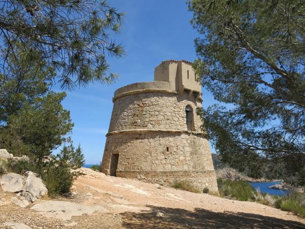
This is a deep & beautiful cala that is well protected from all winds except N-NE. The water is very clear and there is plenty of sand to anchor in. There are two resorts ashore and a beach at the head of the harbor. Also, there is a nice trail that runs along the west side of the harbor starting at the beach and ending at the tower on the point which is the first one that has actually been open so you can go up in it. There is a also a cave that can be visited with payment of admission. Bus service to other parts of the island. Features
ReviewsBe the first to add a review!Nearby Places(to show the Places layer, click the layer button in the top right corner of the map)
Nearby Markers (to show the Nearby Markers layer, click the layer button in the top right corner of the map)
|
|
||||||||||||||||||||||||||||||||||||||||||||||||||||


| FAQ | About Us | Contact | Terms Of Service | Privacy Policy |