Description (0)
Koh Rok Nok & Koh Rok Nai are part
of the Marine Park. There are several orange moorings available for
pick-up. The white moorings are for light local boats. The most
protected area is in the channel between the two islands, navigable
with care and decent light. The water is clear and easy to read.
Anchorage is possible as well, either on the east side of Rok Nok or
on the north side, in the channel. Watch for coral outcrops. The
channel is wide and offers reasonable protection.
There are park facilities on the beachy
southern side of Koh Rok Nai and whether or not you are anchored or
moored, you might be asked to pay a park fee. We didn't have any
cash, so the officials politely waived the charges. The snorkeling
wasn't fantastic but the water was warm and clear and we still saw
some nice things. This is a pretty spot.
Reviews
Be the first to add a review!
Nearby Places(to show the Places layer, click the layer button in the top right corner of the map)
Be the first to add a Place!
Nearby Markers (to show the Nearby Markers layer, click the layer button in the top right corner of the map)
|
-
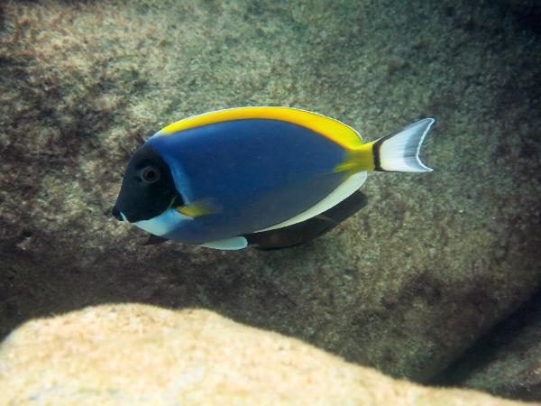 Powder Blue Surgeonfish at Rok Nok
|


