


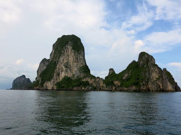
Koh Phetra
| ||||||||||||||||||||||||||||||||||||||||||||||||||||||||||||||||||||

Created on 2015-12-22 00:00:00.0
|
Description (0)
This dramatic, tall, limestone rock island was a good stopover in calm conditions during the NE monsoon. It offered good holding in thick, shelly mud that came off the chain easily in the morning! Rumor has it this island is used for collection of bird's nests by the locals. On the east side, there are small beaches. ReviewsBe the first to add a review!Nearby Places(to show the Places layer, click the layer button in the top right corner of the map)Be the first to add a Place!Nearby Markers (to show the Nearby Markers layer, click the layer button in the top right corner of the map)
|
|
||||||||||||||||||||||||||||||||||||||||||||||||||||||||||||||||||


| FAQ | About Us | Contact | Terms Of Service | Privacy Policy |