


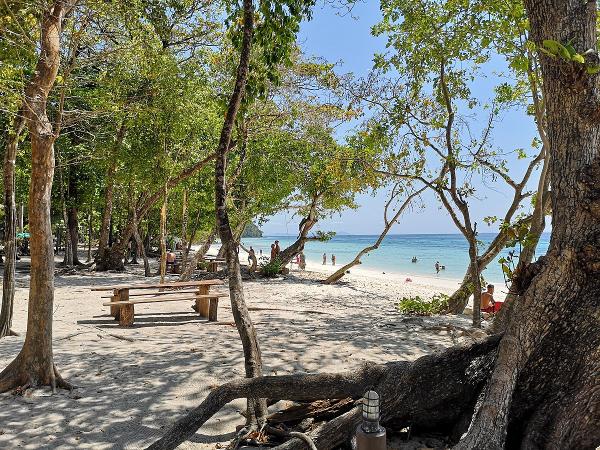
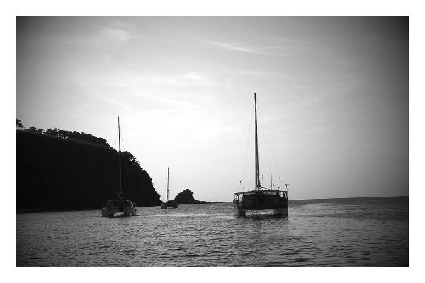
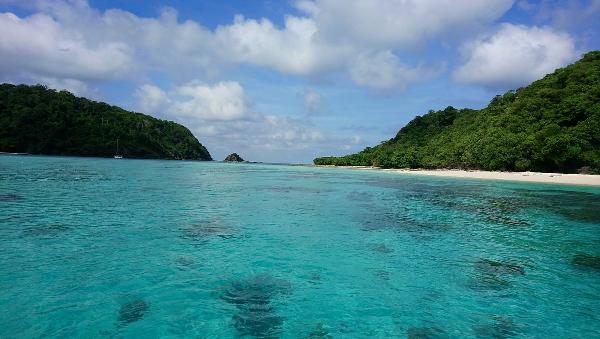
Ko Rok Nok East
| |||||||||||||||||||||||||||||||||||||||||||||||||||||

Created on 2021-10-23 00:00:00.0
|
Description (0)
007deg 12.30min N 099deg 04.30min E Anchor on the sand in 12 to 15 metres being careful of the reef, which rises quickly from depth and has several ridges protruding out into deep water. Do not drive along the length of the reef and only approach the shore with caution at right angles to the reef. Be sure you will have a safe swinging area. Good snorkeling can be found all along this reef. Not suitable in the Northeast season. It is not permitted to light a BBQ on the beach.
FeaturesReviewsBe the first to add a review!Nearby Places(to show the Places layer, click the layer button in the top right corner of the map)Be the first to add a Place!Nearby Markers (to show the Nearby Markers layer, click the layer button in the top right corner of the map)
|
|
|||||||||||||||||||||||||||||||||||||||||||||||||||


| FAQ | About Us | Contact | Terms Of Service | Privacy Policy |