Ko Phetra Southwest

  • 7º 1.943 N 99º 28.208 E
Created on 2021-10-23 00:00:00.0
Description
 (0)
Anchorage Facts
Depth meters
Bottom Type Sand

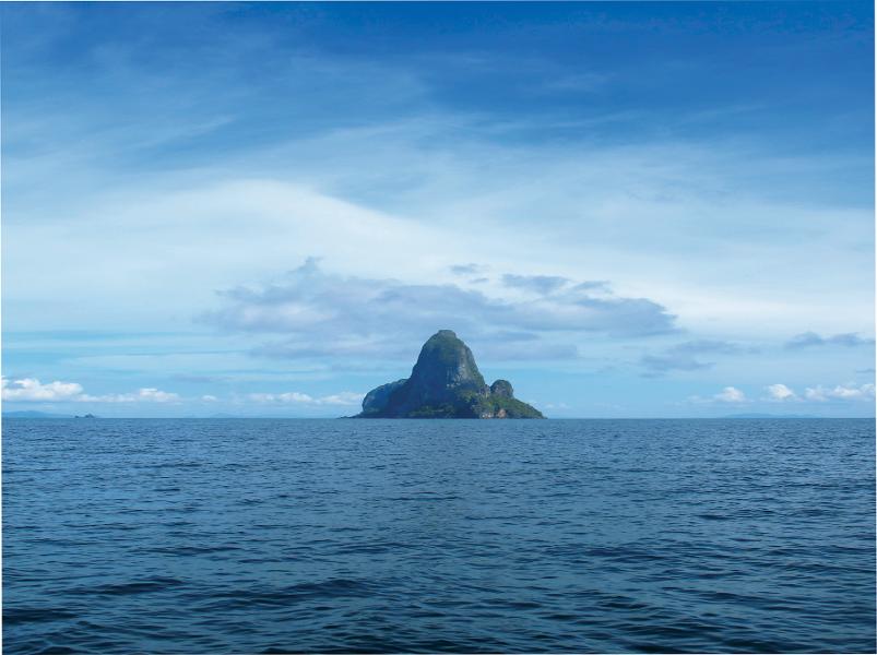
007deg 02.0min N 099deg 28.2min E


This anchorage is suitable in the Northeast season only. Anchor in 8 to 10 meters on a sandy bottom. There are no beaches on this coast but you will find some interesting caves and small bays. No restaurants.

Reviews
Be the first to add a review!
Nearby Places(to show the Places layer, click the layer button in the top right corner of the map)
Be the first to add a Place!
Nearby Markers (to show the Nearby Markers layer, click the layer button in the top right corner of the map)
Koh Phetra
0.21nm on a course of 352 N
Route Phetra to Telaga
0.59nm on a course of 127 SE
Phi Phi to Kho Phetra
58.74nm on a course of 315 NW
Ko Liang Tai 5.32nm on a course of 330 NNW
Ko Liang Nua 5.5nm on a course of 334 NNW
Ko Rok Nok to Koh Khao Yai
26.61nm on a course of 294 WNW
Kho PhiPhi Telaga
58.64nm on a course of 315 NW
Ko Talibong
14.1nm on a course of 333 NNW
KOH KHAO YAI 18.13nm on a course of 136 SE
Koh Muk South 22.18nm on a course of 332 NNW
AO PANTE 22.36nm on a course of 153 SSE
Koh Muk Emerald Cave (Morakot Cave)
23.26nm on a course of 332 NNW
Koh Muk Nudibranch Snorkel 24.03nm on a course of 332 NNW
AO SON 2 25.41nm on a course of 161 SSE
AO SON 25.72nm on a course of 162 SSE
Ko Rok Nok East 25.9nm on a course of 294 WNW
Koh Rok Nok and Rok Nai
26.29nm on a course of 294 WNW
Ko Rok Nai West 26.85nm on a course of 295 WNW
AO TALO WAO 27.68nm on a course of 152 SSE
BAN AO MAKHAM 29.68nm on a course of 162 SSE
FAQ About Us Contact Terms Of Service Privacy Policy