Description (0)
| Anchorage Facts |
| Depth |
10 meters |
| Bottom Type |
Sand |
Anchorage off the town of Sagres with good protection from northerly winds, open to the south & SE. Popular with surfers and tourists, the town offers basic provisions along with restaurants and beaches, cliffside paths to appreciate scenery and a tourist office. Bus service to Lagos and onward. It can be hard to land the dinghy on the beach in swell. The old Fortaleza de Sagres is the main tourist attraction and is 3 euros to get in. This is where Henry the Navigator established his navigation school to prime the early Portuguese explorers. The fort offers pretty views, a cliffside path and a chapel.
Features
Reviews
Be the first to add a review!
Nearby Places(to show the Places layer, click the layer button in the top right corner of the map)
Be the first to add a Place!
Nearby Markers (to show the Nearby Markers layer, click the layer button in the top right corner of the map)
|
-
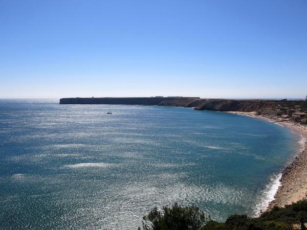 Looking westward over Sagres Bay toward the fort
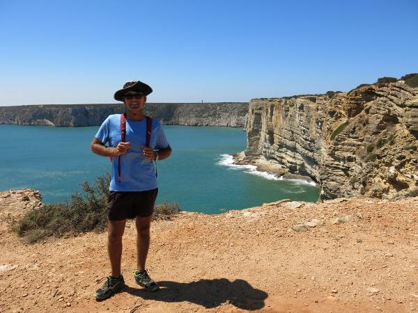 Jon, developer of Venture Farther walking the cliffs
|


