Description (0)
| Anchorage Facts |
| Depth |
9 meters |
| Bottom Type |
Unknown |
Right next to Sagres is the harbor of Baleeira, separated by sea by Ponta da Atalaia. Because there is a breakwater, this anchorage is the most protected in the region and is only open to the east/SE. The inner harbor is pretty full of small boat moorings and the local fishing fleet. We didn't anchor here so can't comment on the quality of the holding or bottom characteristics. The area is pretty and the town offers a grocery store and some restaurants, the bus stops here too if you want a slow trip to Lagos! There is also a wooden boardwalk that heads out to the point. It is easy to land the dinghy within the harbor.
Features
Reviews
Be the first to add a review!
Nearby Places(to show the Places layer, click the layer button in the top right corner of the map)
Be the first to add a Place!
Nearby Markers (to show the Nearby Markers layer, click the layer button in the top right corner of the map)
|
-
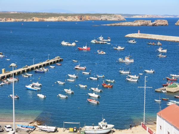 Close up view of the boats in Baleeira Harbor
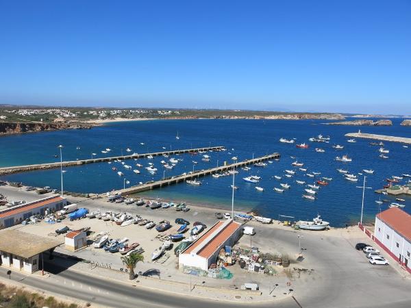 View of Baleeira Harbor
|


