Description (1)
There is an 8km walking trail easily accessible from the Alvor anchorage by pulling dinghy up on a small beach. Info panel on trail at parking area and trail is well blazed on wooden posts along the way. The estuary is formed by the confluence of the Odiaxere Stream and the River Alvor. Good birding, water views, old salt pans, Mediterranean scrubland and farmland.
Reviews
"syhsh"
Reviewed on 2021-05-27 00:00:00.0
tsrhsrth
Add a Review
Nearby Places(to show the Places layer, click the layer button in the top right corner of the map)
Nearby Markers (to show the Nearby Markers layer, click the layer button in the top right corner of the map)
|
-
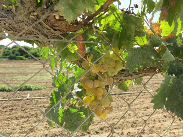 Grapes lining the fields
 There are flamingoes at Alvor Estuary
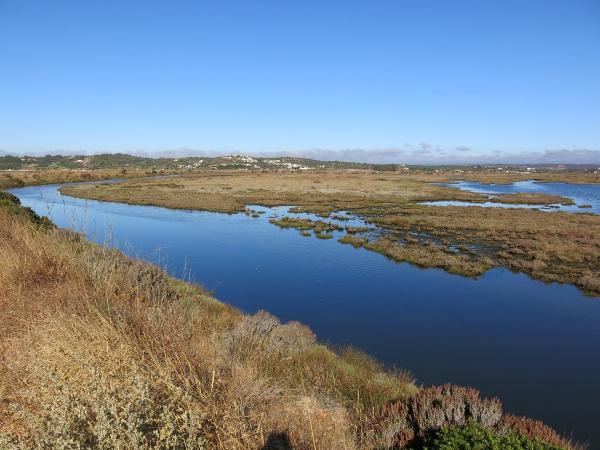 Alvor Estuary
|