Description (0)
| Anchorage Facts |
| Depth |
5 meters |
| Bottom Type |
Sand |
This bay lines the town of Dewey. It isn't a hurricane hole like Ensensada Honda but it is still well protected in prevailing winds and the water is clear. There are some DNR moorings but they are all in too shallow of water for most boats. But you can anchor off to the side in sand about 14 feet. Be sure to stay out of the path of the ferry because it turns around just before docking. You can take this ferry to Fajardo for less than $3. There is nowhere to tie the dinghy a the ferry dock so it is best to proceed through the canal under the draw bridge to tie at the town dock on the Ensenada Honda side. In the cut there is a gas station good for jugging fuel. Ashore the town of Dewey has a bank with ATM, some restaurants, supermarkets, a PO, laundry and you can walk to the airport to clear customs.
Features
-
 By jug only
-

-
 Culebra is a nice island to bike on
-

-

Reviews
Be the first to add a review!
Nearby Places(to show the Places layer, click the layer button in the top right corner of the map)
Nearby Markers (to show the Nearby Markers layer, click the layer button in the top right corner of the map)
|
-
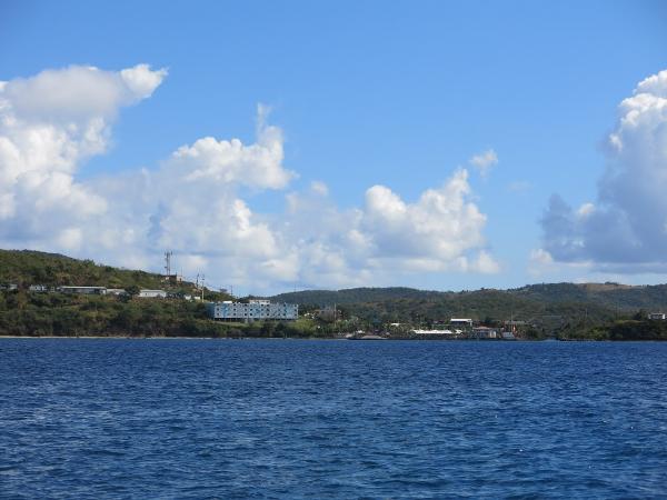 View of the town from the water.
|


