Description (0)
A small iset on the eastern side of Culebra, Culebrita has clear, beautiful water and no one living on it. Both the northern side and the SW side have free DNR moorings that can be picked up. To reach the northern anchorage, conditions should be relatively calm without a northerly swell running and you need to keep a good eye on the chart but it is plenty deep and once inside the harbor it is very peaceful. You can walk the beach, walk over to the rock pools locally called the jacuzzi's for a dip, beach comb the eastern beach (though it is mostly plastic trash), walk the path to the abandoned lighthouse at the top of the hill or visit the western beach for a snorkel. This is a very pretty spot.
Reviews
Be the first to add a review!
Nearby Places(to show the Places layer, click the layer button in the top right corner of the map)
Nearby Markers (to show the Nearby Markers layer, click the layer button in the top right corner of the map)
|
-
 The northern mooring anchorage
 The Jacuzzis on the northern tip of Culebrita
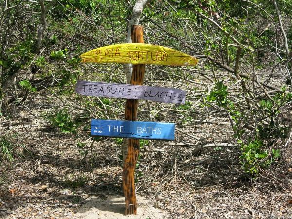 Someone made nice trail signs
|


